POST / OBSERVER INSTRUMENT
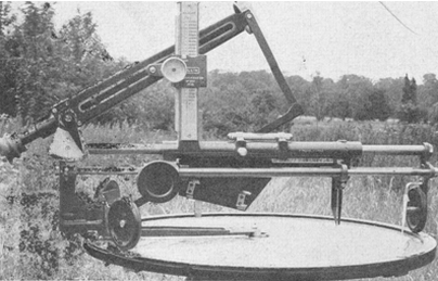
The ROC Post Instrument as used for the locating of enemy and friendly aircraft
To assist in the identification and location of enemy aircraft, Posts were equipped with a mechanical sighting instrument mounted over a gridded map. This instrument was originally designed by R B Pullin & Co. in 1934 and replaced an earlier “pantograph” type instrument used in earlier days. By 1940 the instrument was improved with the addition of a height corrector.
This height corrector was known as a ‘Micklethwait’ after the Observer who developed and patented it in order to enable heights to be calculated more easily and accurately. This instrument worked on the basis that if you knew the height of an aircraft, it is possible, from its horizontal bearing and vertical angle, to calculate a locational
position.
Scan of page from the book "Observers' Tale - The Story of Group 17 of the R.O.C." Published by Roland Brothers, London (1950)
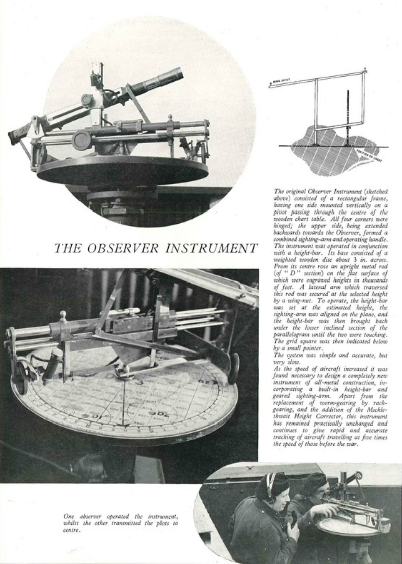
Use of Post Instrument
After setting the instrument with an estimate of the aeroplane's height, the observer would align a sighting bar with the aircraft. This bar was mechanically connected to a vertical pointer which would indicate the position of the aircraft on the map. Observers in posts reported the map coordinates, height and number of aircraft for each sighting to their Centre. The initial estimations of heights were corrected during plots through communication between the Centre and other posts in the area using triangulation between other posts sightings or direct report of a planes location directly above a post.
|
The document opposite is reproduced from the ROC training manual and provides an insight into the use of the post instrument
| ||
Image Source: ROC Training Manual (1951)